
Public Transport Out of View of the Public
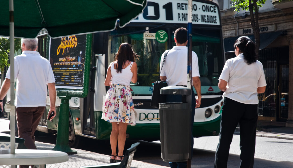
Public transport is one of the most important public services offered by local governments. In Buenos Aires, passengers make nearly 3.5 million bus journeys a day — 78% of all public transport journeys taken in the city.
Although the bus network is the city’s lifeline, connecting people across the city, travellers in Buenos Aires did not have access to information on bus timings that would help them map and plan their journeys.
At the beginning of 2012, the government had established a decree to publish produced data inside the government operations. But it had not followed through on this promise in the crucial area of transportation data.
International Standards Bringing Buenos Aires Up to Speed
To rectify this, the Buenos Aires OGP action plan of 2016 committed to opening up transport data in General Transit Feed Specification (GTFS) format — the worldwide standard for open transit data. It also built the app Buenos Aires Cómo Llego.
Two main components are of particular importance: the first is making the transport data available to anyone, and the second is the development of a public service app that makes use of that data to directly benefit both the inhabitants of and visitors to Buenos Aires. These two components feed into an overarching goal of transparency through open access to information about the scheduling, routes, frequency of services, service providers, and how reliably the service keeps to its schedule. Additionally, this information can be used in itself to get a sense for how well the public transport services are running, and to propose improvements and amendments. By channeling this now openly available information through the Buenos Aires Cómo Llego app, it utilizes the information in a way that already starts to make a real difference to the people of Buenos Aires.
Transforming the City’s Fleet of Buses
Providing reliable and up-to-date information about transport services has meant a significant investment in the existing networks. Tracking devices had to be installed across the city’s bus fleet and the information from all forms of transport had to be compiled, and analyzed. However, the investment of time and resources has paid off.
Today, Buenos Aires’ transit routes are progressively being mapped, and the Buenos Aires Cómo Llego app is being used across the city by both residents and visitors. The app is now available in both Spanish and English, and continues to be updated to give its users better means to plan their journeys, saving them time that might otherwise be wasted standing at a bus stop.
Open Data and New Software Are Modernizing Buenos Aires’ Transport Networks
The success of the Buenos Aires Cómo Llego is a success for open data. By committing to the GTFS standard of transport data, the up to date information about travel was made available in a way that makes a real difference to the lives of the city’s inhabitants and visitors. An additional benefit of this standard is easy usage across different platforms, so that the information can also be integrated into Google Maps for example .
With channels open to provide feedback and suggest improvements, this data can be utilized by the public to demand improvements to the quality of public services, making use of what the city of Buenos Aires calls ‘collective intelligence’.